


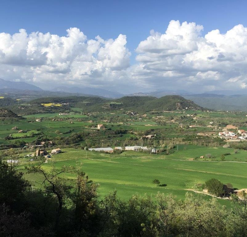
The need to fit the pieces of a currently fragmented landscape has led the European Union and the various territorial administrations to promote green infrastructure. This type of planning could secure ecosystem services and increase the connectivity of the Natura 2000 network, while improving the coverage of species of conservation interest in the EU beyond the current protected areas.
In order to provide management recommendations in this regard, a study shows the feasibility of currently available spatial planning tools to design a green infrastructure network as objectively as possible through the connection of existing protected areas, designated as Nature 2000. The challenge is to achieve two goals that can even compete with each other. Maintaining biodiversity, on the one hand, and ensuring the provision of ecosystem services, by the other.
Virgilio Hermoso, author of the article and researcher at the Forest Science and Technology Centre of Catalonia (CTFC), explains that “it is a matter of fitting pieces of a territory together like a space puzzle so that all the objectives are achieved and at the same time the possible impacts are minimized”. The study also involves the participation of researchers from CREAF and the CSIC, and is published in the scientific journal Landscape and Urban Planning.
Green infrastructure planned at European level is more efficient
The research team has evaluated two alternative planning scenarios using computer software: one based in the European Union, where the network is planned on a continental scale and another scenario based on each member country. The two cases pursue the same goals, on the one hand avoiding biodiversity loss by covering a wide distribution of species and habitats, and on the other ensuring the provision of 5 ecosystem services: carbon retention, soil erosion, water retention, pollination potential and recreational opportunities.
Results show that a planned green infrastructure at European level is more efficient than that based in each country, as it needs less area to meet its goals. In addition, they demonstrate the benefits of inter-country collaboration in designing the future EU green infrastructure network, and highlight the need for stronger policy instruments that support designation and management of this network.
Priority in the Catalan strategy
To date, the only planning exercise of this kind was a small-scale study published in 2019 in the journal Science of the Total Environment. In this article, researchers from CTFC, CREAF and UdL used the same software to define and prioritize different management areas fitting the needs of a green infrastructure network in Catalonia.
Both studies are framed in a positive political and social context, as the strategy for the natural heritage and biodiversity of Catalonia, approved by the Government of Catalonia in 2018, contemplates in its guiding principles “to incorporate green infrastructure into territorial planning, overcome habitat fragmentation and conserve and restore ecological connectivity”.
References
Hermoso, V., Morán-Ordóñez, A., Lanzas, M., Brotons, L. (2020) Designing a network of green infrastructure for the EU. Landscape and Urban Planning 196 103732
Lanzas, M., Hermoso, V., de-Miguel, S., Bota, G., & Brotons, L. L. (2019). Designing a network of Green Infrastructure to enhance the conservation value of protected areas and maintain ecosystem services. Science of the Total Environment, 651, 541–550.
Last modified: 17 March 2020


