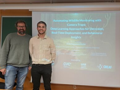
The research supports the use of computer vision models to detect wildlife and analyze behavior in real time. Arnau Campanera has defended his doctoral dissertation at the Faculty...
LiDAR technology is a remote sensing technique that uses lasers to measure distances with great precision and generates highly detailed 3D models. The equipment has been acquired...
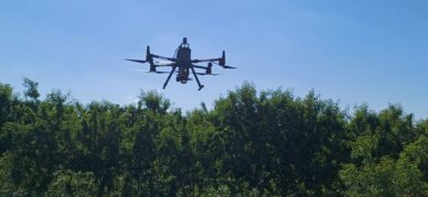
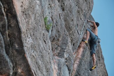
Digital systems to monitor the impact of recreational activities and strengthen conservation in protected natural areas The Tech4Nature project, led by the International Union for...
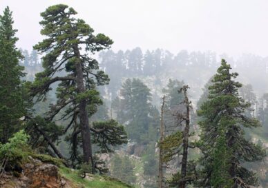
Since 1956, the area covered by these forests has increased by nearly 30%. However, most of them are still young, which limits their ability to withstand droughts, wildfires, and...
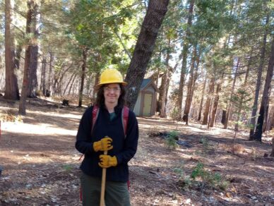
Andrea Duane shares her reflections after two years of research in California, highlighting the role of fire and social involvement in landscape management. Andrea Duane,...
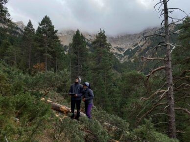
The POCTEFA REDBIO project promotes shared solutions for managing forests, open habitats, and peatlands in a changing world The Pyrenees are one of the major biodiversity hotspots...
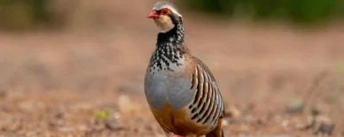
An unprecedented study published in Oikos with the participation of the ICO and CREAF has analyzed 20 years of evolution in European bird populations and concludes that drought is...
A new study reveals that most “forest” bird species do not respond in the same way to forest structure, suggesting that new approaches are needed to make current European...
The Tech4Nature initiative, led by the International Union for Conservation of Nature (IUCN) together with Huawei’s TECH4ALL program, is taking a new step forward in Spain...