The FIRE-RES project promotes technological innovation and international collaboration to strengthen resilience against wildfires.
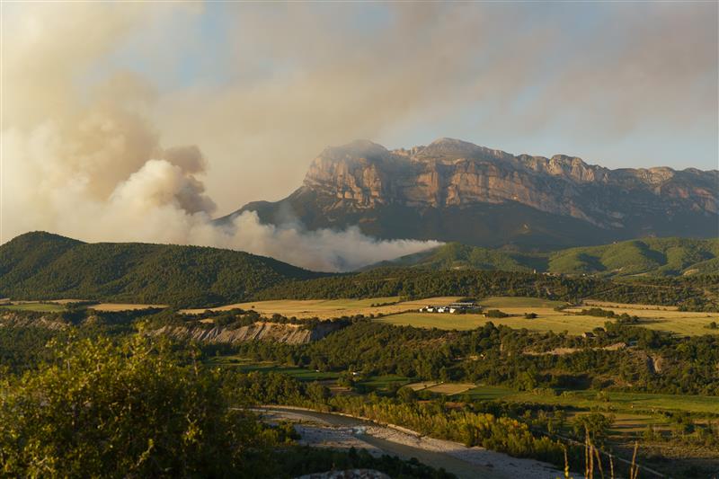
Extreme wildfires have become one of the greatest environmental, economic, and social threats worldwide. With growing evidence of the limitations of strategies focused solely on suppression, experts and policymakers are advocating for innovative approaches that address root causes and enhance the resilience of landscapes and communities. In this context, the FIRE-RES project, led by the Forest Science and Technology Centre of Catalonia (CTFC), is developing holistic and integrated fire management strategies to tackle these extreme events in Europe. The project is implementing innovative actions across eleven Living Labs in Europe and Chile.
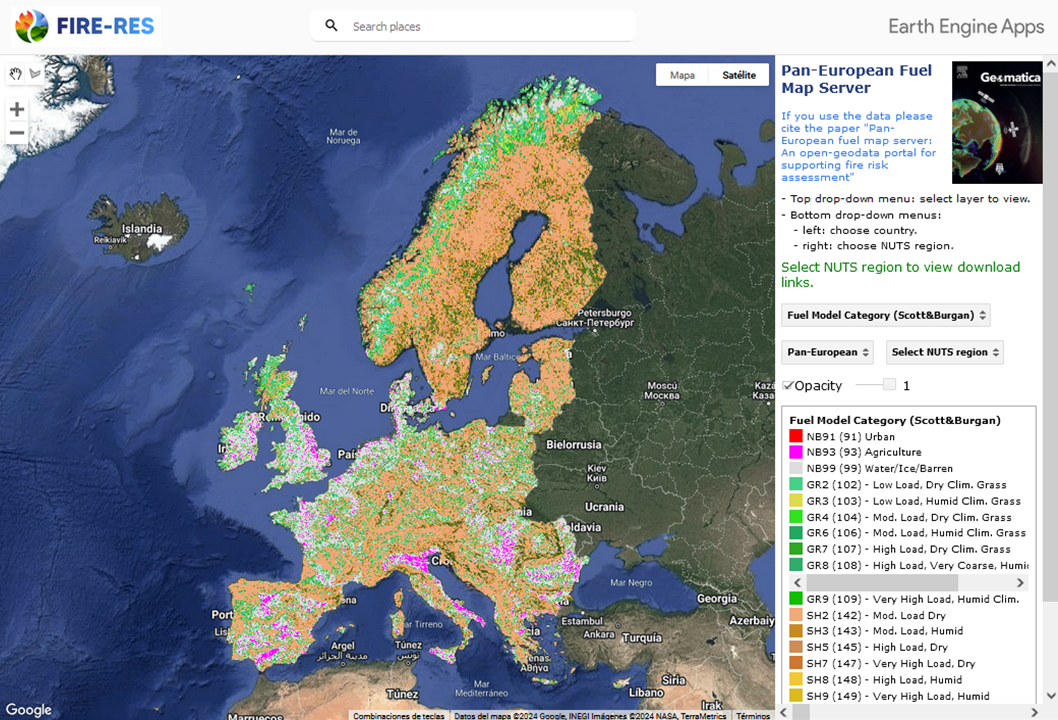
As part of these initiatives, the CTFC and the University of Padua, together with collaborators from various European countries, have created a pan-European forest fuel server. This server, designed following FAIR principles (Findable, Accessible, Interoperable, Reusable), provides harmonized, continent-wide information that enables wildfire behavior simulations and improves fire management at a continental scale.
“The server represents a significant advancement in the fight against extreme wildfires. Its implementation opens new doors for research, such as the development of better data models and the integration of additional variables for more accurate simulations,” explains Antoni Trasobares, coordinator of the FIRE-RES project and director of the CTFC.

Mapa combustible Europa (CTFC)
The server combines satellite data with allometric models and species maps to chart forest fuels across Europe. It offers layers of information such as surface and canopy fuel models, canopy attributes, and topographic variables. These layers are available at a resolution of 100 meters and can be accessed and downloaded at various administrative levels, from countries to provinces. Additionally, it includes uncertainty maps (for canopy fuels) that allow users to evaluate data reliability in each region.
The server can be particularly valuable for countries lacking local fuel models, aiding decision-making in fire prevention and management. Its applications include strategic planning for fire-resilient landscapes and designing preventive, nature-based interventions such as forest management and fuel reduction.
With this tool, FIRE-RES contributes to climate resilience and sustainability, showcasing how technology and international collaboration can make a difference in addressing Europe’s most pressing environmental challenges.
Further information:
Pan-European fuel map server: an open-geodata portal for supporting fire risk assessment. Kutchartt, E.; González-Olabarria, JR.; Aquilué,N.; Garcia-Gonzalo, J.; Trasobares, A.; Botequim, B.; Hauglin, M.; Palaiologou, P.; Vassilev, V.; Cardil, A.; Navarrete, MA.; Orazio, C.; Pirotti, F. Geomatica, 76, 2, 2024, 100036 DOI: 10.1016/j.geomat.2024.100036
Last modified: 3 December 2024


