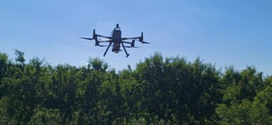
LiDAR technology is a remote sensing technique that uses lasers to measure distances with great precision and generates highly detailed 3D models. The equipment has been acquired...
This is the conclusion of a study published today in Science, with participation from several Catalan institutions, including CREAF, CTFC, and the University of Girona. The...
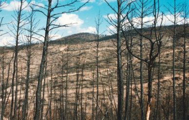
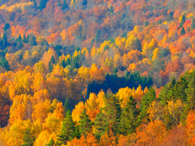
Since 1956, the area covered by these forests has increased by nearly 30%. However, most of them are still young, which limits their ability to withstand droughts, wildfires, and...
A new study proposes how to integrate Nature‑Based Solutions into fire, biodiversity, energy, and rural development policies. The work organizes strategies such as integrated...
The new digital platform integrates maps, LIDAR imagery, fuel models, and climate data using open standards. It enables improved territorial analysis, forest planning, and fire...
The October 30 event will showcase scientific results to anticipate how today’s management choices will shape forest resilience through 2100. In a context marked by climate...
The new tool is created to help democratize the design of biodiversity conservation strategies. According to the latest IPBES global report, one in four species (for which data is...
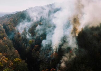
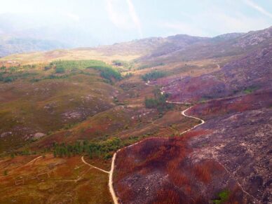
The REMAINS model simulates a wide range of fire-related scenarios and their impacts, which can help land managers better understand the interactions between fire and land use. In...
So demonstrate the results of two scientific articles focused on nature-based solutions for fire prevention, published within the framework of the FriESmart project There is a...