Over three decades of data are analyzed to determine the effect of climate teleconnections on wildfires and burned area in different regions of the planet.
Climate teleconnections can explain 53% of the area burned globally.
The relationships between climate teleconnections can help to anticipate the seasons of great fires, favoring coordinated decision-making for the prevention and extinction of fires.
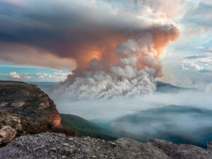
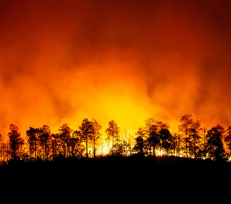
As the butterfly effect says, the flapping of the wings of an insect in Hong Kong can unleash an entire storm in New York, climate teleconnections (CT) can explain up to 53% of the area burned by fires on a global scale. This is confirmed by a study led by researchers from the Forest Science and Technology Center of Catalonia (CTFC) and the University of Lleida (UdL) that has been published in the journal Nature Communications. The interactions between these large-scale weather patterns can be useful in anticipating major fire seasons and forecasting which areas of the world are likely to burn simultaneously in the future, thus favoring coordinated global-scale decision-making on the prevention and suppression of fires.
Climate teleconnections are local disturbances, such as changes in sea surface temperature, that alter environmental conditions in regions far from the point of origin. “They remotely influence the weather conditions in many regions of the Earth, leading to changes in the main factors of fire activity, such as the accumulation of biomass and humidity,” explains Sergio de Miguel, UdL professor, and researcher of the mixed research unit CTFC-Agrotecnio-CERCA. The effects of CTs can be synchronized with the initial environmental disturbance or be delayed by even months.

“Now we will be able to find out, well in advance, if in a certain region the fire season will be longer or more severe than usual,” highlights CTFC-Agrotecnio-CERCA and UdL researcher Adrián Cardil, first author of the study. For example, during September 2020, the characteristic conditions of a La Niña episode, the cold phase of the El Niño-Southern Oscillation (ENSO), were established in the equatorial Pacific, and the Mediterranean region has enjoyed dampened fire conditions these last years. On the other hand, currently “the recent arrival of El Niño can increase the temperature by 1 or 1.5 ºC in certain places, exacerbating the risk of large forest fires in the Mediterranean region during the duration of this disturbance”, warns de Miguel. In addition, “El Niño brings rain during the months prior to the main fire season, which also contributes to an increase in the forest biomass available in summer for fires,” stresses the scientist.
The team -with research staff from the CTFC, the Universities of Lleida, Zaragoza, Marseille (France), Wageningen (Netherlands), Florida (USA) and California Berkeley (USA), and the company Technosylva Inc (USA) – has analyzed climate teleconnections and data of burned area worldwide between 1982 and 2018. Their results indicate that more than half of the annual area burned worldwide (52.9%) can be explained by CTs, a percentage slightly higher than that previously thought (48%).
On a global scale, the burned surface is not related to El Niño (ENOS), as previously thought, but to the Tropical North Atlantic (TNA) and Atlantic Multidecadal Oscillation (AMO) teleconnections. TNA dominates variability in land evaporation and drought over relatively large regions of both hemispheres and is associated with 25.7% of the global burned area, according to the research findings. The Southern Annular Mode (SAM) is related to 12.3% of the total burned area, due to its significant influence on Australia and the African and South American savannahs.
In Europe, the climate teleconnection that has a greater influence is the North Atlantic Oscillation (NAO). A positive NAO reduces the burned area in Scandinavia and the temperate continental zone. Meanwhile, fires in the Mediterranean regions are mainly related to the Pacific Decadal Oscillation (PDO), the Indian Ocean Dipole (IOD), and El Niño (ENOS). On the Spanish Mediterranean coast, there is also a link with the Tropical South Atlantic Index (TSA). “Our analysis provides valuable information for land managers and emergency services worldwide, especially in regions where long-term fire risk forecasts are not available,” the article concludes.
Text: CTFC/UdL
Further information:
Cardil, A., Rodrigues, M., Tapia, M. et al. Climate teleconnections modulate global burned area. Nat Commun 14, 427 (2023). https://doi.org/10.1038/s41467-023-36052-8
Last modified: 21 June 2023


